2024-03-19 | Project “Ice-jam flood risk management in Latvian and Lithuanian regions with respect to climate change” (ICEREG)
We are pleased to announce that Latvian Centre for Environment, Geology and Meteorology, together with Lithuanian Energy Institute and Lithuanian Hydrometeorological Service at the Ministry of Environment have started the implementation of a new project “Ice-jam flood risk management in Latvian and Lithuanian regions with respect to climate change” (acronym – ICEREG).
Ice jams in rivers are very dangerous – rising water levels can flood large areas and cause significant damage to communities and the economy of the border regions between Lithuania and Latvia. The specific dynamics of ice accumulation are still poorly understood, making it difficult to predict flooding from ice jams. Without accurate forecasts, there is no way to warn the population in advance of potential hazards. This can lead not only to increased property damage, but also to damage to health or even loss of life.
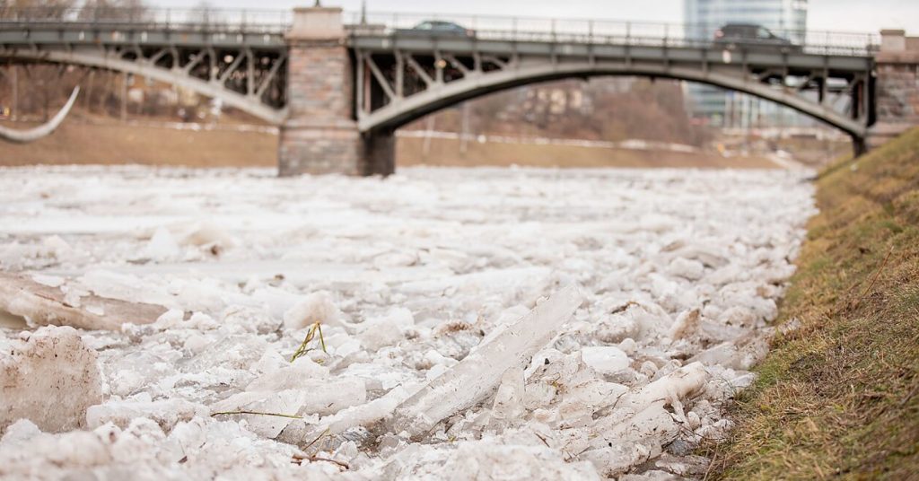
Ice jam in Neris near Vilnius in the spring of 2021.
The aim of the ICEREG project is to model and map floods caused by ice jams in the vulnerable areas of Lithuania-Latvia. The developed model will be used to improve the existing early warning system by using information on ice drift floods. The project will increase the security and resilience of the Latvian-Lithuanian border regions to the challenges related to the risk of flooding caused by ice jams, which is increasing in frequency due to climate change.
Planned activities – based on the analysis of historical data, a conceptual model of the formation of ice jams and the inundation caused by this phenomenon will be developed. It will also assess changes in the formation of ice jams due to the effects of climate change. Ice flood hazard and risk maps will then be produced with 0.5%, 1%, 10% probabilities for 2030, 2070 and 2100. Based on the results of the project, Latvia’s flood risk information system and Lithuania’s warning system will be upgraded to include information on ice jams and potential floods. National and local authorities and target groups will be able to use flood maps marking the affected areas and integrate the data into the warning systems of both countries (Lithuania and Latvia).
The project is supported by the Interreg VI-A Latvia-Lithuania Programme (2021-2027).
The total project budget is EUR 654 082.50, including 80% of the total budget ERDF co-financing.
The duration of the project is from February 1st of 2024 to December 31th of 2025.
Project number – LL-00136